From pixels & waveforms to decisions — fast.
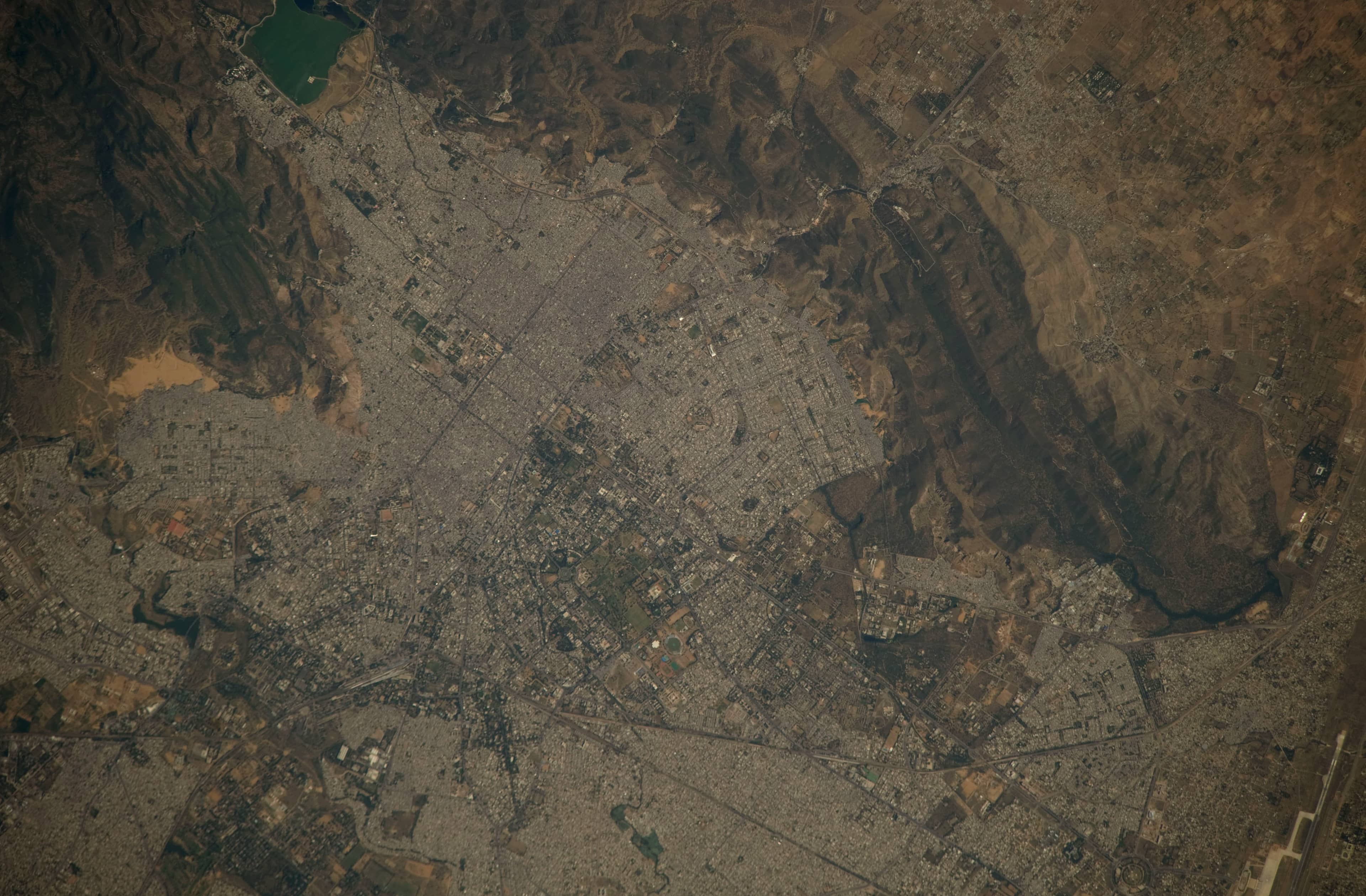
SirenStack builds GeoAI that reads satellite imagery, spectral bands and sensor data, and turns them into decisions you can act on.
- Place
- Jaipur, Rajasthan
- Centre
- 26.9° N, 75.8° E
Three ways to read the ground
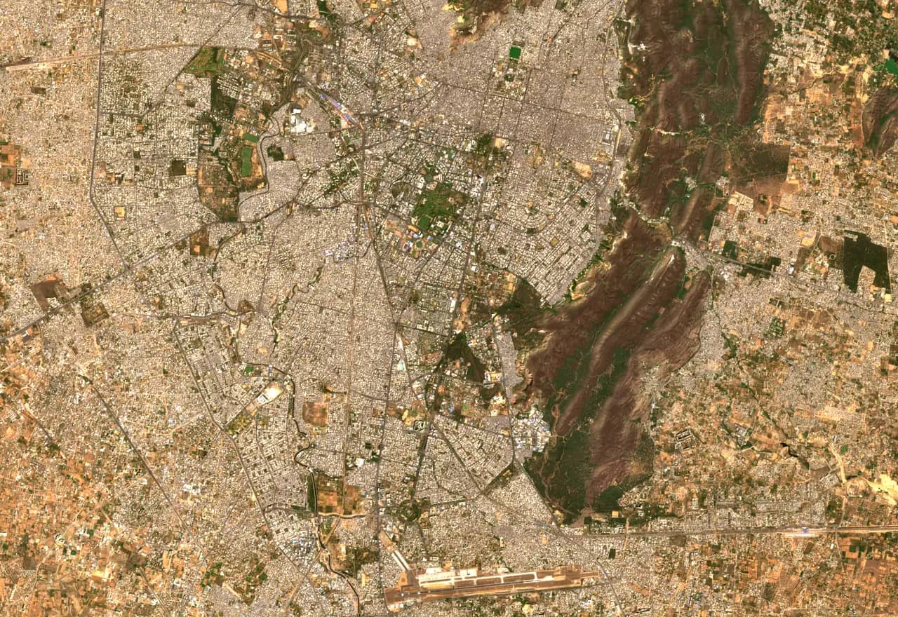
Each capability below runs on the same Sentinel-2 scenes of Jaipur. Switch between them, pan and zoom the map, and drag the divider to compare years.
KhasraMap – Rajasthan
Coming soonFind any plot in Rajasthan by its khasra number, or drop a pin to see which khasra it falls in. Parcel boundaries sit over current satellite imagery, so you can check what is actually on the ground.
Where it applies
- Search by district, tehsil, village and khasra number
- Go from a map pin or GPS location to its khasra
- Measure plot area and see land use on and around it
Also in development
All applicationsSpatial intelligence across audio, visual and spectral data
Models that place what is heard, seen and measured onto the same map.
Coming soonEdge and real-time ML for smart, resilient cities
Inference that runs on devices in the field, close to the cameras and sensors that feed it.
Coming soonAgricultural and environmental intelligence
Field- and landscape-scale monitoring for farms, forests and water bodies.
Coming soon
From the blog
All posts- Building Small Language Models: Lessons from MobileLLM-R1 and BeyondTools, techniques and strategies for building small but capable language models that run on mobile and edge devices.
- Welcome to Sirenstack: Illuminating the Path to InsightWelcome to the official Sirenstack blog, the start of a journey of discovery and innovation.
Working on a geospatial problem?
Tell us what you need to see on the ground. We reply from Jaipur.