Applications
Everything here is in development. If one of these matches a problem you have, write to us and we'll tell you where it stands.
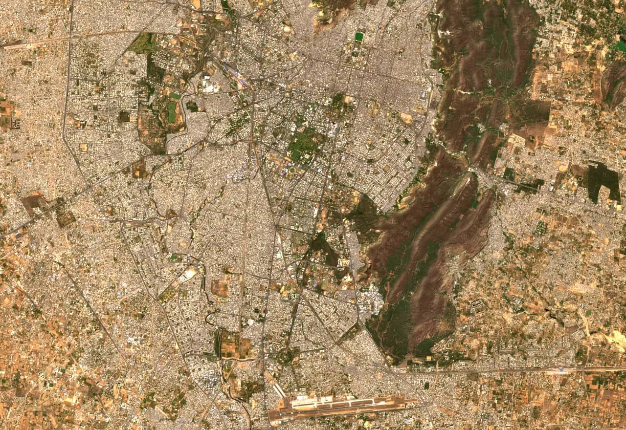
KhasraMap – Rajasthan
Coming soonFind any plot in Rajasthan by its khasra number, or drop a pin to see which khasra it falls in. Parcel boundaries sit over current satellite imagery, so you can check what is actually on the ground.
- Search by district, tehsil, village and khasra number
- Go from a map pin or GPS location to its khasra
- Measure plot area and see land use on and around it
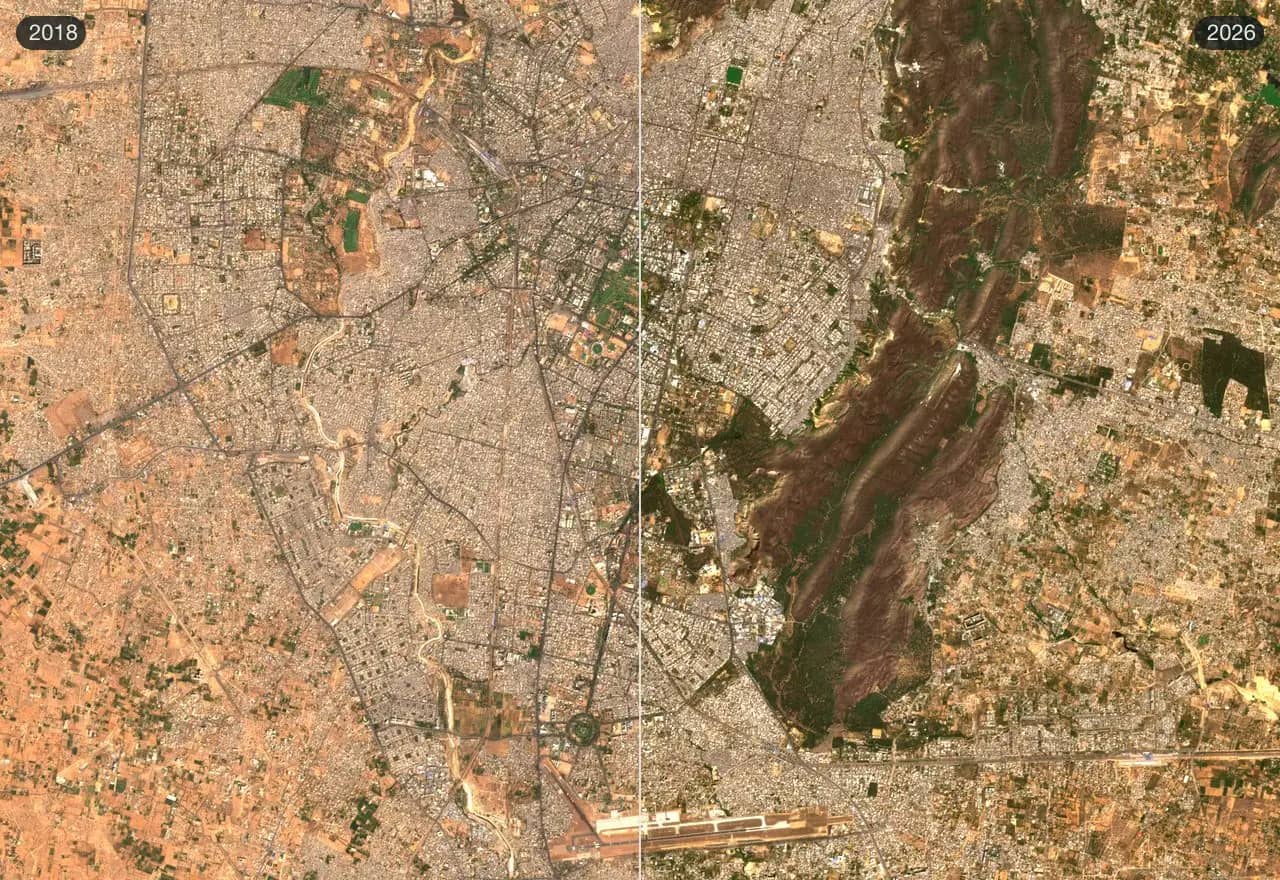
Change detection
Coming soonCompare the same ground across dates and surface what changed: new construction, cleared land, shrinking water.
- Flag new construction on a city's edge
- Measure flood or drought extent
- Audit land-use change against plans
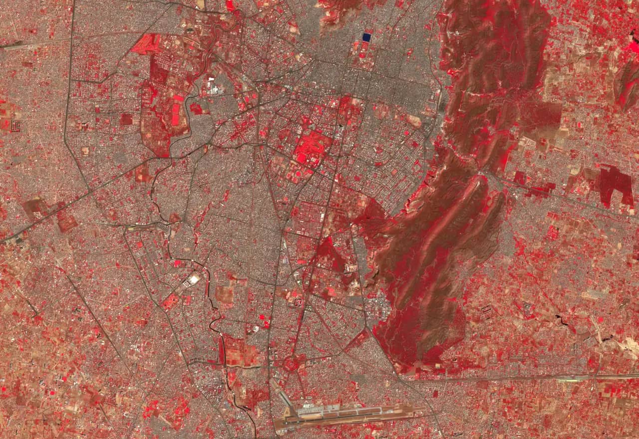
Multimodal spatial intelligence
Coming soonCombine spectral bands, imagery, sensor feeds and sound into one spatial picture that answers a specific question.
- Crop health from near-infrared bands
- Fuse ground sensors with satellite views
- Locate events from audio and imagery together
Also in development
Spatial intelligence across audio, visual and spectral data
Models that place what is heard, seen and measured onto the same map.
Coming soonEdge and real-time ML for smart, resilient cities
Inference that runs on devices in the field, close to the cameras and sensors that feed it.
Coming soonAgricultural and environmental intelligence
Field- and landscape-scale monitoring for farms, forests and water bodies.
Coming soon